Gibraltar Rock Public House
Introduction
The photograph on this page of Gibraltar Rock Public House by Christine Westerback as part of the Geograph project.
The Geograph project started in 2005 with the aim of publishing, organising and preserving representative images for every square kilometre of Great Britain, Ireland and the Isle of Man.

There are currently over 7.5m images from over 14,400 individuals and you can help contribute to the project by visiting https://www.geograph.org.uk
Gibraltar Rock Public House
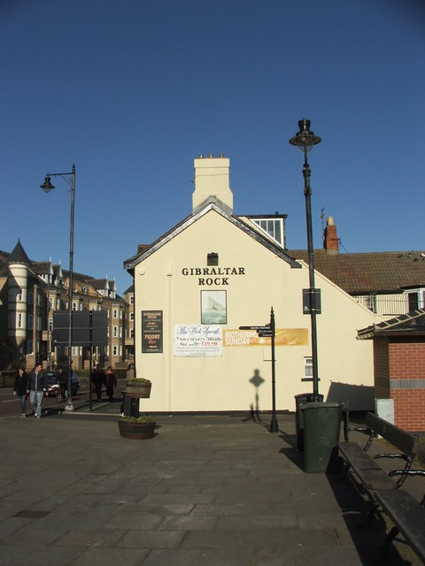
Image: © Christine Westerback Taken: 19 Feb 2012
Situated on the main road with a wonderful backdrop of the short sands and sea beyond!
Images are licensed for reuse under creativecommons.org/licenses/by-sa/2.0
Image Location


Leaflet Map data © OpenStreetMap
Latitude
55.018218
Longitude
-1.421156