Trans Pennine Trail
Introduction
The photograph on this page of Trans Pennine Trail by Gerald England as part of the Geograph project.
The Geograph project started in 2005 with the aim of publishing, organising and preserving representative images for every square kilometre of Great Britain, Ireland and the Isle of Man.

There are currently over 7.5m images from over 14,400 individuals and you can help contribute to the project by visiting https://www.geograph.org.uk
Trans Pennine Trail
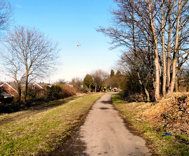
Image: © Gerald England Taken: 19 Feb 2012
The Trans Pennine Trail and National Cycle Network Route #62 on the line of the former Godley Junction to Apethorn railway line. Up ahead are a group of horse-riders.
Images are licensed for reuse under creativecommons.org/licenses/by-sa/2.0
Image Location
Latitude
53.440764
Longitude
-2.083512