Imposing outer entrance to Place Farm
Introduction
The photograph on this page of Imposing outer entrance to Place Farm by David Redwood as part of the Geograph project.
The Geograph project started in 2005 with the aim of publishing, organising and preserving representative images for every square kilometre of Great Britain, Ireland and the Isle of Man.

There are currently over 7.5m images from over 14,400 individuals and you can help contribute to the project by visiting https://www.geograph.org.uk
Imposing outer entrance to Place Farm
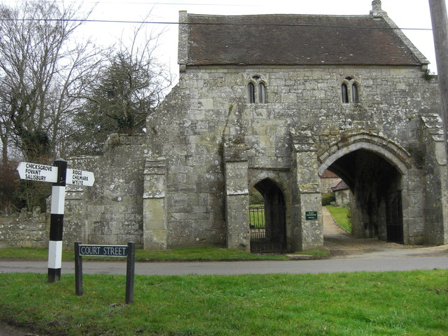
Image: © David Redwood Taken: 22 Feb 2012
The grange, or administrative headquarters, of the Tisbury estate was at Place Farm. The outer gatehouse, the abbess’s house of the early 14th century and the inner gatehouse and barn of the 15th century survive in remarkably good order.
Images are licensed for reuse under creativecommons.org/licenses/by-sa/2.0
Image Location


Leaflet Map data © OpenStreetMap
Latitude
51.067421
Longitude
-2.070736