Charlton Marshall, parish church
Introduction
The photograph on this page of Charlton Marshall, parish church by Mike Faherty as part of the Geograph project.
The Geograph project started in 2005 with the aim of publishing, organising and preserving representative images for every square kilometre of Great Britain, Ireland and the Isle of Man.

There are currently over 7.5m images from over 14,400 individuals and you can help contribute to the project by visiting https://www.geograph.org.uk
Charlton Marshall, parish church
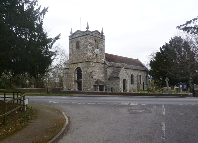
Image: © Mike Faherty Taken: 22 Feb 2012
The Church of St. Mary the Virgin, with C15 roots; listed by English Heritage: http://www.imagesofengland.org.uk/Details/Default.aspx?id=103309&mode=adv
Images are licensed for reuse under creativecommons.org/licenses/by-sa/2.0
Image Location
Latitude
50.836072
Longitude
-2.143092