Shropshire Union Canal approaching Nantwich Junction, Cheshire
Introduction
The photograph on this page of Shropshire Union Canal approaching Nantwich Junction, Cheshire by Roger D Kidd as part of the Geograph project.
The Geograph project started in 2005 with the aim of publishing, organising and preserving representative images for every square kilometre of Great Britain, Ireland and the Isle of Man.

There are currently over 7.5m images from over 14,400 individuals and you can help contribute to the project by visiting https://www.geograph.org.uk
Shropshire Union Canal approaching Nantwich Junction, Cheshire
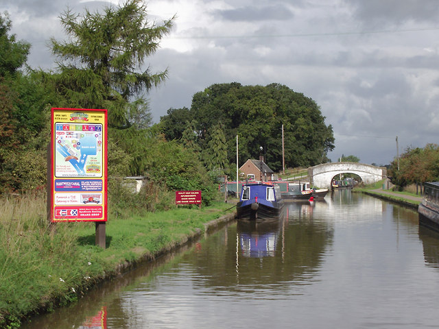
Image: © Roger D Kidd Taken: 27 Aug 2011
Past Nantwich Junction Bridge (No 92) to the left is Nantwich Basin, the old Chester Canal southern terminus. The basin is commercially operated as Nantwich Marina.
Images are licensed for reuse under creativecommons.org/licenses/by-sa/2.0
Image Location
Latitude
53.071681
Longitude
-2.538609