North Lane, Portslade
Introduction
The photograph on this page of North Lane, Portslade by nick macneill as part of the Geograph project.
The Geograph project started in 2005 with the aim of publishing, organising and preserving representative images for every square kilometre of Great Britain, Ireland and the Isle of Man.

There are currently over 7.5m images from over 14,400 individuals and you can help contribute to the project by visiting https://www.geograph.org.uk
North Lane, Portslade
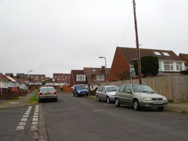
Image: © nick macneill Taken: 17 Feb 2012
Three generations of housing can be seen in the photo. The bungalows were built in the late nineteen fifties, the 'chalet bungalows' in the nineteen sixties and the houses in the background were built in the early nineteen nineties.
Images are licensed for reuse under creativecommons.org/licenses/by-sa/2.0
Image Location
Latitude
50.8494
Longitude
-0.220877