Steps to Castle Walk
Introduction
The photograph on this page of Steps to Castle Walk by Bill Boaden as part of the Geograph project.
The Geograph project started in 2005 with the aim of publishing, organising and preserving representative images for every square kilometre of Great Britain, Ireland and the Isle of Man.

There are currently over 7.5m images from over 14,400 individuals and you can help contribute to the project by visiting https://www.geograph.org.uk
Steps to Castle Walk
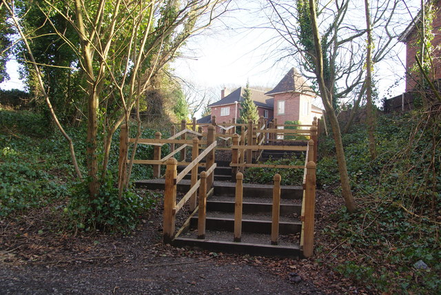
Image: © Bill Boaden Taken: 18 Feb 2012
The 1:25,000 OS map refers to a motte somewhere around here though does not specify the location clearly. The naming of the new residential road as Castle Walk is another clue and the house opposite continues this theme. However the nearest thing I found to a motte was in the churchyard.
Images are licensed for reuse under creativecommons.org/licenses/by-sa/2.0
Image Location
Latitude
53.755971
Longitude
-2.725691