Grade II listed Alma House, Grosmont
Introduction
The photograph on this page of Grade II listed Alma House, Grosmont by Jaggery as part of the Geograph project.
The Geograph project started in 2005 with the aim of publishing, organising and preserving representative images for every square kilometre of Great Britain, Ireland and the Isle of Man.

There are currently over 7.5m images from over 14,400 individuals and you can help contribute to the project by visiting https://www.geograph.org.uk
Grade II listed Alma House, Grosmont
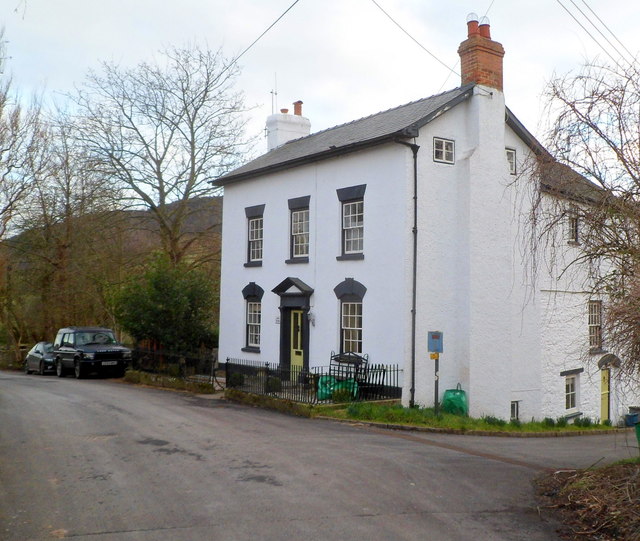
Image: © Jaggery Taken: 19 Feb 2012
Located on the south side of the B4347, facing Athelstan. http://www.geograph.org.uk/photo/2814242 Alma House dates from the 17th century. The Georgian facade seen here is an early 19th-century alteration. Grade II listed in October 2000.
Images are licensed for reuse under creativecommons.org/licenses/by-sa/2.0
Image Location
Latitude
51.913137
Longitude
-2.866425