Miller Park
Introduction
The photograph on this page of Miller Park by Bill Boaden as part of the Geograph project.
The Geograph project started in 2005 with the aim of publishing, organising and preserving representative images for every square kilometre of Great Britain, Ireland and the Isle of Man.

There are currently over 7.5m images from over 14,400 individuals and you can help contribute to the project by visiting https://www.geograph.org.uk
Miller Park
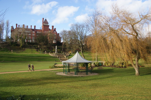
Image: © Bill Boaden Taken: 18 Feb 2012
It has the backdrop of council buildings. This is the view from the path by the River Ribble.
Images are licensed for reuse under creativecommons.org/licenses/by-sa/2.0
Image Location


Leaflet Map data © OpenStreetMap
Latitude
53.751963
Longitude
-2.704391