Dial House, Marnhull
Introduction
The photograph on this page of Dial House, Marnhull by Maigheach-gheal as part of the Geograph project.
The Geograph project started in 2005 with the aim of publishing, organising and preserving representative images for every square kilometre of Great Britain, Ireland and the Isle of Man.

There are currently over 7.5m images from over 14,400 individuals and you can help contribute to the project by visiting https://www.geograph.org.uk
Dial House, Marnhull
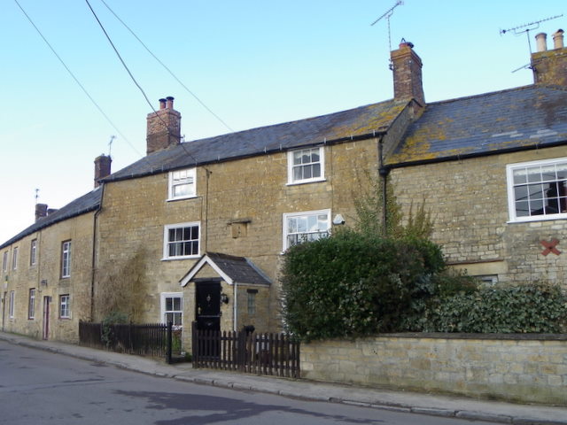
Image: © Maigheach-gheal Taken: 19 Feb 2012
Dial House was the former post office and still has a postbox set into the wall. The building dates from the 18th century and is built of coursed rubble and it has a sundial over the 20th century porch.
Images are licensed for reuse under creativecommons.org/licenses/by-sa/2.0
Image Location
Latitude
50.972851
Longitude
-2.321402