Clavering: Disused windmills
Introduction
The photograph on this page of Clavering: Disused windmills by Nigel Cox as part of the Geograph project.
The Geograph project started in 2005 with the aim of publishing, organising and preserving representative images for every square kilometre of Great Britain, Ireland and the Isle of Man.

There are currently over 7.5m images from over 14,400 individuals and you can help contribute to the project by visiting https://www.geograph.org.uk
Clavering: Disused windmills
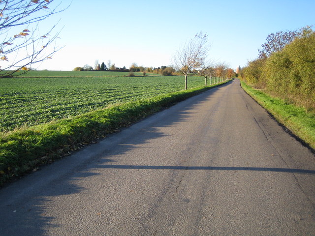
Image: © Nigel Cox Taken: 18 Nov 2006
This grid square, to the north-west of Clavering, is blessed with two former windmills. The North mill is in sight directly at the end of the road, whilst the similar South mill is visible to the left, and immediately to the left of the prominent conifer tree on the horizon. Close-up views of the two are in Image and Image
Images are licensed for reuse under creativecommons.org/licenses/by-sa/2.0
Image Location
Latitude
51.974337
Longitude
0.132879