Lane at Helliers Farm
Introduction
The photograph on this page of Lane at Helliers Farm by Derek Harper as part of the Geograph project.
The Geograph project started in 2005 with the aim of publishing, organising and preserving representative images for every square kilometre of Great Britain, Ireland and the Isle of Man.

There are currently over 7.5m images from over 14,400 individuals and you can help contribute to the project by visiting https://www.geograph.org.uk
Lane at Helliers Farm
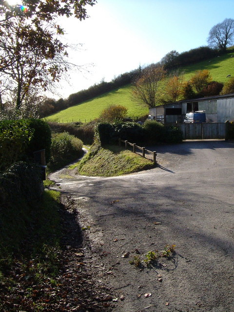
Image: © Derek Harper Taken: 18 Nov 2006
Reverse view of Image, looking away from the farm towards Ashford.
Images are licensed for reuse under creativecommons.org/licenses/by-sa/2.0
Image Location
Latitude
50.327186
Longitude
-3.844583