Grosmont road junction
Introduction
The photograph on this page of Grosmont road junction by Jaggery as part of the Geograph project.
The Geograph project started in 2005 with the aim of publishing, organising and preserving representative images for every square kilometre of Great Britain, Ireland and the Isle of Man.

There are currently over 7.5m images from over 14,400 individuals and you can help contribute to the project by visiting https://www.geograph.org.uk
Grosmont road junction
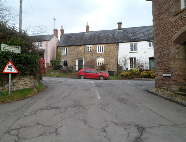
Image: © Jaggery Taken: 19 Feb 2012
Viewed from opposite York House. http://www.geograph.org.uk/photo/2812663 Turn left ahead at the B4347 for Pontrilas (3 miles) or right for Skenfrith (5 miles).
Images are licensed for reuse under creativecommons.org/licenses/by-sa/2.0
Image Location
Latitude
51.914924
Longitude
-2.867913