2012 : Approaching Court Farm on Church Lane near Winterbourne
Introduction
The photograph on this page of 2012 : Approaching Court Farm on Church Lane near Winterbourne by Maurice Pullin as part of the Geograph project.
The Geograph project started in 2005 with the aim of publishing, organising and preserving representative images for every square kilometre of Great Britain, Ireland and the Isle of Man.

There are currently over 7.5m images from over 14,400 individuals and you can help contribute to the project by visiting https://www.geograph.org.uk
2012 : Approaching Court Farm on Church Lane near Winterbourne
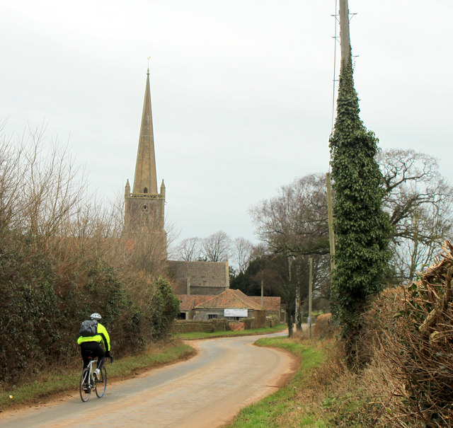
Image: © Maurice Pullin Taken: 16 Feb 2012
With a lone cyclist and a surprisingly large church for such a small community, probably serves a much wider area than is apparent.
Images are licensed for reuse under creativecommons.org/licenses/by-sa/2.0
Image Location
Latitude
51.525778
Longitude
-2.518003