St Teresa's RC Church
Introduction
The photograph on this page of St Teresa's RC Church by Bill Boaden as part of the Geograph project.
The Geograph project started in 2005 with the aim of publishing, organising and preserving representative images for every square kilometre of Great Britain, Ireland and the Isle of Man.

There are currently over 7.5m images from over 14,400 individuals and you can help contribute to the project by visiting https://www.geograph.org.uk
St Teresa's RC Church
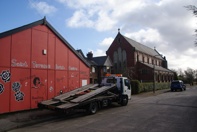
Image: © Bill Boaden Taken: 18 Feb 2012
The parish centre is on the left. I don't know whether the breakdown truck belongs to the church too.
Images are licensed for reuse under creativecommons.org/licenses/by-sa/2.0
Image Location
Latitude
53.764064
Longitude
-2.663028