Moorland east of Abergavenny Road, Blaenavon
Introduction
The photograph on this page of Moorland east of Abergavenny Road, Blaenavon by Jaggery as part of the Geograph project.
The Geograph project started in 2005 with the aim of publishing, organising and preserving representative images for every square kilometre of Great Britain, Ireland and the Isle of Man.

There are currently over 7.5m images from over 14,400 individuals and you can help contribute to the project by visiting https://www.geograph.org.uk
Moorland east of Abergavenny Road, Blaenavon
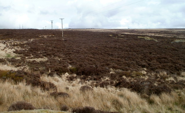
Image: © Jaggery Taken: 3 Apr 2011
Viewed from near this http://www.geograph.org.uk/photo/2811484 stile at about 415 metres (1,360 feet) above mean sea level.
Images are licensed for reuse under creativecommons.org/licenses/by-sa/2.0
Image Location
Latitude
51.780971
Longitude
-3.082779