Benchmark on St. John Jones Catholic Church, Llanberis
Introduction
The photograph on this page of Benchmark on St. John Jones Catholic Church, Llanberis by Meirion as part of the Geograph project.
The Geograph project started in 2005 with the aim of publishing, organising and preserving representative images for every square kilometre of Great Britain, Ireland and the Isle of Man.

There are currently over 7.5m images from over 14,400 individuals and you can help contribute to the project by visiting https://www.geograph.org.uk
Benchmark on St. John Jones Catholic Church, Llanberis
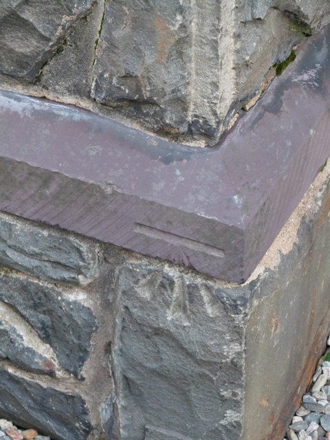
Image: © Meirion Taken: 8 Feb 2012
This benchmark is located on St. John Jones Catholic Church (formerly Capel Bethel) in Llanberis and it is shown in the current Ordnance Survey database at a height of 106.7462m above the Newlyn datum.
Images are licensed for reuse under creativecommons.org/licenses/by-sa/2.0
Image Location
Latitude
53.122001
Longitude
-4.127764