Hand Lane-Carr Lane Junction
Introduction
The photograph on this page of Hand Lane-Carr Lane Junction by David Dixon as part of the Geograph project.
The Geograph project started in 2005 with the aim of publishing, organising and preserving representative images for every square kilometre of Great Britain, Ireland and the Isle of Man.

There are currently over 7.5m images from over 14,400 individuals and you can help contribute to the project by visiting https://www.geograph.org.uk
Hand Lane-Carr Lane Junction
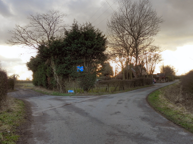
Image: © David Dixon Taken: 18 Feb 2012
The sign indicates that both branches of the fork lead to dead ends.
Images are licensed for reuse under creativecommons.org/licenses/by-sa/2.0
Image Location
Latitude
53.47812
Longitude
-2.52265