Carnegie Primary School
Introduction
The photograph on this page of Carnegie Primary School by Robert Struthers as part of the Geograph project.
The Geograph project started in 2005 with the aim of publishing, organising and preserving representative images for every square kilometre of Great Britain, Ireland and the Isle of Man.

There are currently over 7.5m images from over 14,400 individuals and you can help contribute to the project by visiting https://www.geograph.org.uk
Carnegie Primary School
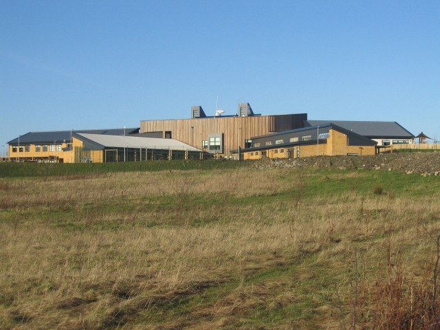
Image: © Robert Struthers Taken: 6 Feb 2012
New school built to serve the ever-expanding Dunfermline East Expansion scheme.
Images are licensed for reuse under creativecommons.org/licenses/by-sa/2.0
Image Location
Latitude
56.0776
Longitude
-3.406415