View north-northeastward along the Old Newry Road
Introduction
The photograph on this page of View north-northeastward along the Old Newry Road by Eric Jones as part of the Geograph project.
The Geograph project started in 2005 with the aim of publishing, organising and preserving representative images for every square kilometre of Great Britain, Ireland and the Isle of Man.

There are currently over 7.5m images from over 14,400 individuals and you can help contribute to the project by visiting https://www.geograph.org.uk
View north-northeastward along the Old Newry Road
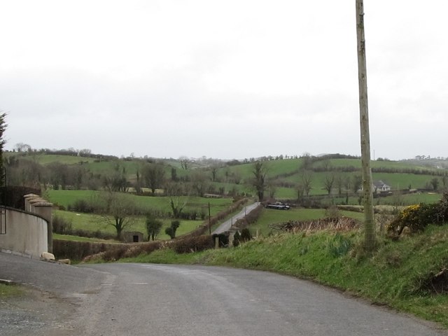
Image: © Eric Jones Taken: 14 Feb 2012
This road has been replaced by the Newry Road (A26) which follows an east-west course about to the north of the old road. This view is taken from outside the Finnard Orange Hall. The landscape, typical of Co Down, is dominated by drumlins.
Images are licensed for reuse under creativecommons.org/licenses/by-sa/2.0
Image Location
Latitude
54.218127
Longitude
-6.246073