The site of Christ Church, Carlisle
Introduction
The photograph on this page of The site of Christ Church, Carlisle by John S Turner as part of the Geograph project.
The Geograph project started in 2005 with the aim of publishing, organising and preserving representative images for every square kilometre of Great Britain, Ireland and the Isle of Man.

There are currently over 7.5m images from over 14,400 individuals and you can help contribute to the project by visiting https://www.geograph.org.uk
The site of Christ Church, Carlisle
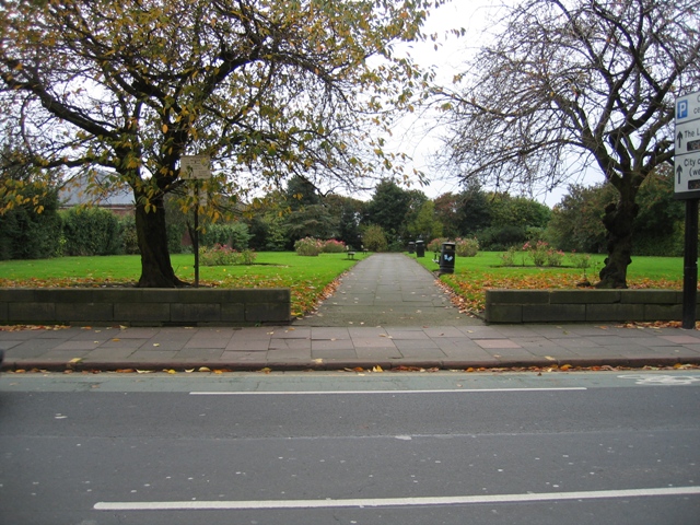
Image: © John S Turner Taken: 5 Nov 2004
These public gardens are laid out on the site of Christ Church, just off Botchergate, Carlisle. Christ Church was completed in 1830 as a Chapel of Ease for St Cuthbert's in the town centre. I don't know when it was demolished.
Images are licensed for reuse under creativecommons.org/licenses/by-sa/2.0
Image Location
Latitude
54.889633
Longitude
-2.928709