Limit of Edenbrook development
Introduction
The photograph on this page of Limit of Edenbrook development by Fernweh as part of the Geograph project.
The Geograph project started in 2005 with the aim of publishing, organising and preserving representative images for every square kilometre of Great Britain, Ireland and the Isle of Man.

There are currently over 7.5m images from over 14,400 individuals and you can help contribute to the project by visiting https://www.geograph.org.uk
Limit of Edenbrook development
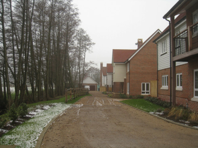
Image: © Fernweh Taken: 6 Feb 2012
To my mind the houses on the fringe would be the ones to buy, these appear to have a reasonable view across what will become a new country park.
Images are licensed for reuse under creativecommons.org/licenses/by-sa/2.0
Image Location
Latitude
51.282076
Longitude
-0.865951