Steep fields to Toddbrook Reservoir
Introduction
The photograph on this page of Steep fields to Toddbrook Reservoir by Peter Turner as part of the Geograph project.
The Geograph project started in 2005 with the aim of publishing, organising and preserving representative images for every square kilometre of Great Britain, Ireland and the Isle of Man.

There are currently over 7.5m images from over 14,400 individuals and you can help contribute to the project by visiting https://www.geograph.org.uk
Steep fields to Toddbrook Reservoir
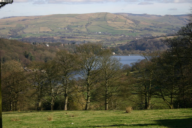
Image: © Peter Turner Taken: 23 Feb 2004
The height provide a magnificent viewpoint not only over the bright blue waters of Toddbrook Reservoir but to the distant skyline of Kinder Low and Mount Famine. The bulky swell in the middle ground is Chinley Churn.
Images are licensed for reuse under creativecommons.org/licenses/by-sa/2.0
Image Location
Latitude
53.320616
Longitude
-2.003413