The Gates of Canvey Heights
Introduction
The photograph on this page of The Gates of Canvey Heights by John Myers as part of the Geograph project.
The Geograph project started in 2005 with the aim of publishing, organising and preserving representative images for every square kilometre of Great Britain, Ireland and the Isle of Man.

There are currently over 7.5m images from over 14,400 individuals and you can help contribute to the project by visiting https://www.geograph.org.uk
The Gates of Canvey Heights
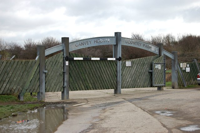
Image: © John Myers Taken: 15 Feb 2012
Country Park. A reclaimed 36 acre landfill site. Now by far the highest point on the entire island.
Images are licensed for reuse under creativecommons.org/licenses/by-sa/2.0
Image Location
Latitude
51.522737
Longitude
0.616704