Path by Fleet Pond (northern edge)
Introduction
The photograph on this page of Path by Fleet Pond (northern edge) by Fernweh as part of the Geograph project.
The Geograph project started in 2005 with the aim of publishing, organising and preserving representative images for every square kilometre of Great Britain, Ireland and the Isle of Man.

There are currently over 7.5m images from over 14,400 individuals and you can help contribute to the project by visiting https://www.geograph.org.uk
Path by Fleet Pond (northern edge)
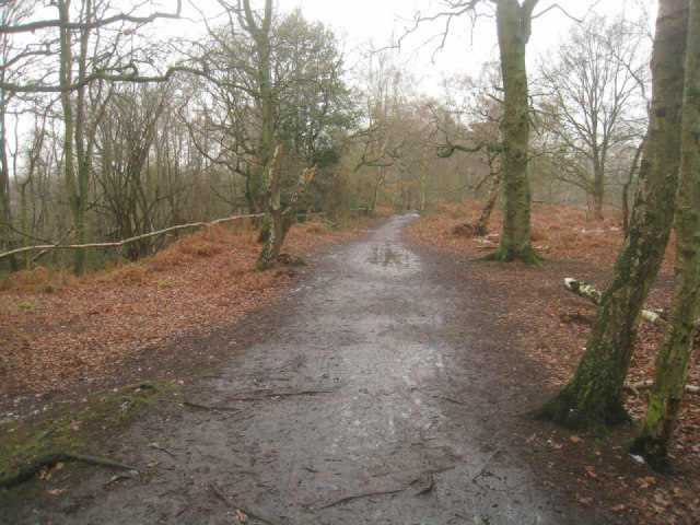
Image: © Fernweh Taken: 6 Feb 2012
On a raised bit of land above the lower path.
Images are licensed for reuse under creativecommons.org/licenses/by-sa/2.0
Image Location
Latitude
51.290552
Longitude
-0.822719