Hen heol Llandybie old Road
Introduction
The photograph on this page of Hen heol Llandybie old Road by Alan Richards as part of the Geograph project.
The Geograph project started in 2005 with the aim of publishing, organising and preserving representative images for every square kilometre of Great Britain, Ireland and the Isle of Man.

There are currently over 7.5m images from over 14,400 individuals and you can help contribute to the project by visiting https://www.geograph.org.uk
Hen heol Llandybie old Road
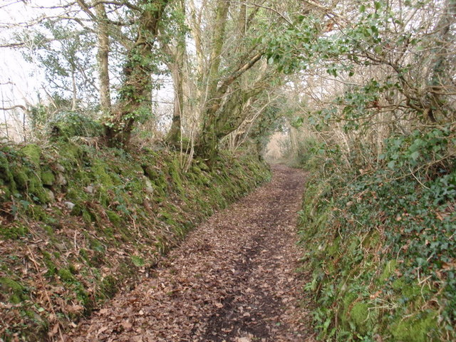
Image: © Alan Richards Taken: 9 Feb 2012
Hen heol sy'n cysylltu Pentregwenlais â Llandybie. Cysylltir Llandybie â hen rigwn a ganlyn: 'A ei di i Landybie heb weud ie, dros yr hewl neu dros y cie?' Y nod yw ateb rhagor o gwestiynau heb ddweud 'ie'. Old road linking Pentregwenlais (trans. Village of the white stream) with Llandybie (trans. St Tybie's Church). Llandybie is well known for the following children's rhyme ' A ei di i Landybie heb weud ie, dros yr hewl neu dros y cie?'(Will you go to Llandybie without saying 'yes', along the road or across the fields?). More questions will follow and the object of the game is not to say 'ie' (Yes)
Images are licensed for reuse under creativecommons.org/licenses/by-sa/2.0
Image Location
Latitude
51.824245
Longitude
-4.015689