Hebron looking over boundary bridge
Introduction
The photograph on this page of Hebron looking over boundary bridge by chris whitehouse as part of the Geograph project.
The Geograph project started in 2005 with the aim of publishing, organising and preserving representative images for every square kilometre of Great Britain, Ireland and the Isle of Man.

There are currently over 7.5m images from over 14,400 individuals and you can help contribute to the project by visiting https://www.geograph.org.uk
Hebron looking over boundary bridge
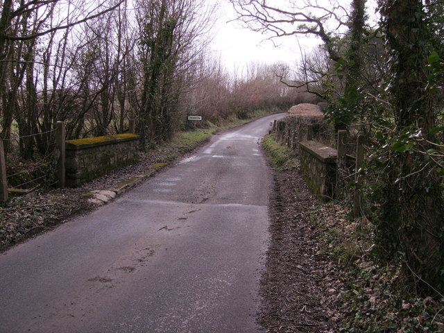
Image: © chris whitehouse Taken: 14 Feb 2012
The road surface on the Pembrokeshire side of this bridge has had major repairs recently, the other side (Carmarthenshire) is in need of repair.
Images are licensed for reuse under creativecommons.org/licenses/by-sa/2.0
Image Location


Leaflet Map data © OpenStreetMap
Latitude
51.920312
Longitude
-4.64113