The Leys
Introduction
The photograph on this page of The Leys by Michael Dibb as part of the Geograph project.
The Geograph project started in 2005 with the aim of publishing, organising and preserving representative images for every square kilometre of Great Britain, Ireland and the Isle of Man.

There are currently over 7.5m images from over 14,400 individuals and you can help contribute to the project by visiting https://www.geograph.org.uk
The Leys
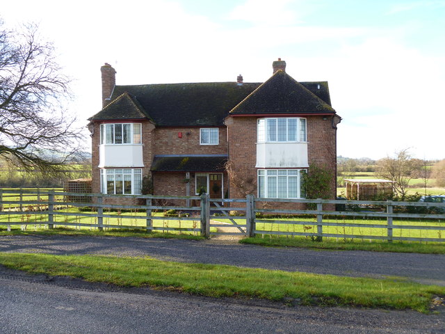
Image: © Michael Dibb Taken: 18 Dec 2011
This property alongside the minor road appears to have once been a farm, and indeed, there is a sign "Leys Farm" on the fence opposite the house. At the side of the house are some disused glasshouses and some sheds.
Images are licensed for reuse under creativecommons.org/licenses/by-sa/2.0
Image Location
Latitude
52.119119
Longitude
-1.693543