View from above Penrhyn Side
Introduction
The photograph on this page of View from above Penrhyn Side by Eirian Evans as part of the Geograph project.
The Geograph project started in 2005 with the aim of publishing, organising and preserving representative images for every square kilometre of Great Britain, Ireland and the Isle of Man.

There are currently over 7.5m images from over 14,400 individuals and you can help contribute to the project by visiting https://www.geograph.org.uk
View from above Penrhyn Side
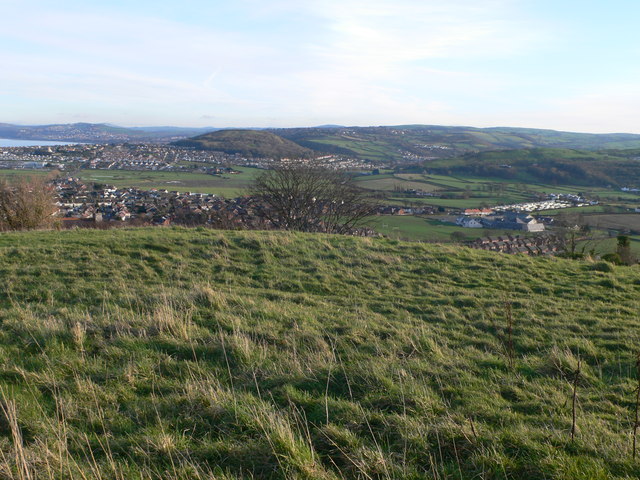
Image: © Eirian Evans Taken: 28 Jan 2012
Prominent in the centre of the photo is Bryn Euryn where there was once a hill fort.
Images are licensed for reuse under creativecommons.org/licenses/by-sa/2.0
Image Location
Latitude
53.318085
Longitude
-3.782291