Old St.Nicholas churchyard
Introduction
The photograph on this page of Old St.Nicholas churchyard by Richard Croft as part of the Geograph project.
The Geograph project started in 2005 with the aim of publishing, organising and preserving representative images for every square kilometre of Great Britain, Ireland and the Isle of Man.

There are currently over 7.5m images from over 14,400 individuals and you can help contribute to the project by visiting https://www.geograph.org.uk
Old St.Nicholas churchyard
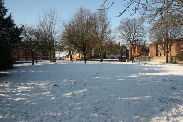
Image: © Richard Croft Taken: 11 Feb 2012
After a long period of disrepair, St.Nicholas church was demolished in 1839 when the new church opened http://www.geograph.org.uk/photo/2801662 only the churchyard with a few headstones remains http://www.geograph.org.uk/photo/2234618
Images are licensed for reuse under creativecommons.org/licenses/by-sa/2.0
Image Location
Latitude
53.237765
Longitude
-0.537891