Buildings on Derringstone Hill
Introduction
The photograph on this page of Buildings on Derringstone Hill by John Baker as part of the Geograph project.
The Geograph project started in 2005 with the aim of publishing, organising and preserving representative images for every square kilometre of Great Britain, Ireland and the Isle of Man.

There are currently over 7.5m images from over 14,400 individuals and you can help contribute to the project by visiting https://www.geograph.org.uk
Buildings on Derringstone Hill
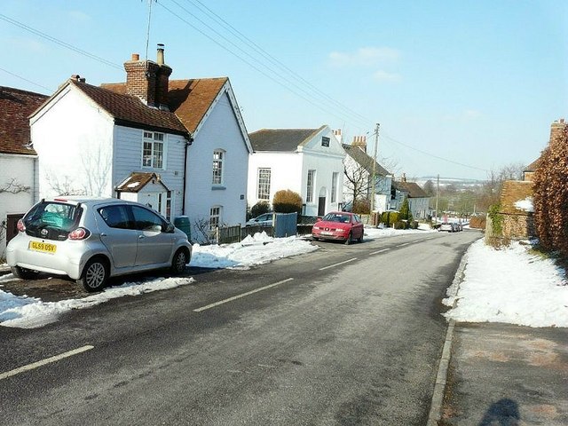
Image: © John Baker Taken: 11 Feb 2012
The nearest house is semi-detached - the white-boarded side is named Wesley Cottage and the other Wesley House. Beyond is the Methodist Church, a converted Wesleyan chapel dated 1836.
Images are licensed for reuse under creativecommons.org/licenses/by-sa/2.0
Image Location
Latitude
51.200557
Longitude
1.156884