Witchampton, village street
Introduction
The photograph on this page of Witchampton, village street by Mike Faherty as part of the Geograph project.
The Geograph project started in 2005 with the aim of publishing, organising and preserving representative images for every square kilometre of Great Britain, Ireland and the Isle of Man.

There are currently over 7.5m images from over 14,400 individuals and you can help contribute to the project by visiting https://www.geograph.org.uk
Witchampton, village street
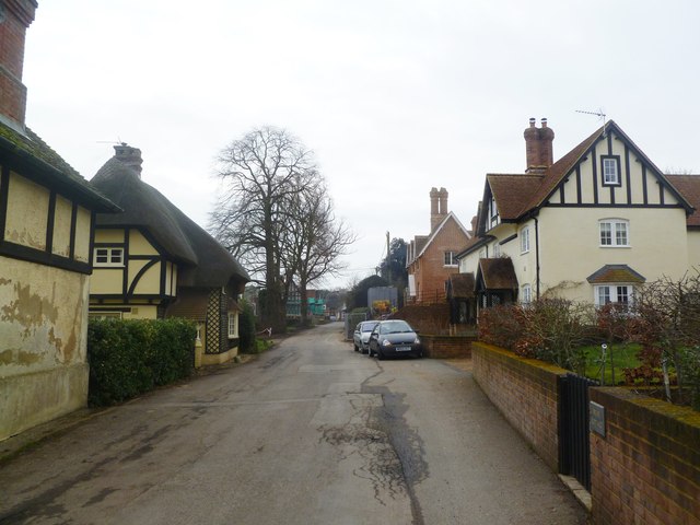
Image: © Mike Faherty Taken: 12 Feb 2012
The village's main street, apparently nameless; Swiss Cottages http://www.imagesofengland.org.uk/Details/Default.aspx?id=107599&mode=adv left, and Michaelmas Cottages right.
Images are licensed for reuse under creativecommons.org/licenses/by-sa/2.0
Image Location
Latitude
50.85936
Longitude
-2.016572