Field pond, Ouston
Introduction
The photograph on this page of Field pond, Ouston by Andrew Curtis as part of the Geograph project.
The Geograph project started in 2005 with the aim of publishing, organising and preserving representative images for every square kilometre of Great Britain, Ireland and the Isle of Man.

There are currently over 7.5m images from over 14,400 individuals and you can help contribute to the project by visiting https://www.geograph.org.uk
Field pond, Ouston
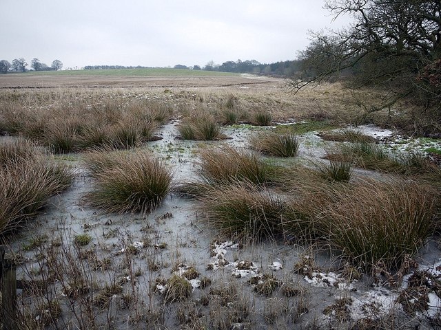
Image: © Andrew Curtis Taken: 10 Feb 2012
Pike Hill, behind, was the site of a Bronze Age tumulus. Excavation of the mound in 1926 revealed two burial cists containing human bones and also an urn, which is now lost. Some of the stone slabs, which formed the cists, were carved with cup and ring patterns. One incised slab was presented to the Museum of Antiquities in Newcastle and is recorded here http://archaeologydataservice.ac.uk/era/section/panel/overview.jsf?eraId=1897 and as a 3D model here http://archaeologydataservice.ac.uk/era/section/experience/exp_photogram.jsf
Images are licensed for reuse under creativecommons.org/licenses/by-sa/2.0
Image Location
Latitude
55.028616
Longitude
-1.88593