Road junction
Introduction
The photograph on this page of Road junction by Lairich Rig as part of the Geograph project.
The Geograph project started in 2005 with the aim of publishing, organising and preserving representative images for every square kilometre of Great Britain, Ireland and the Isle of Man.

There are currently over 7.5m images from over 14,400 individuals and you can help contribute to the project by visiting https://www.geograph.org.uk
Road junction
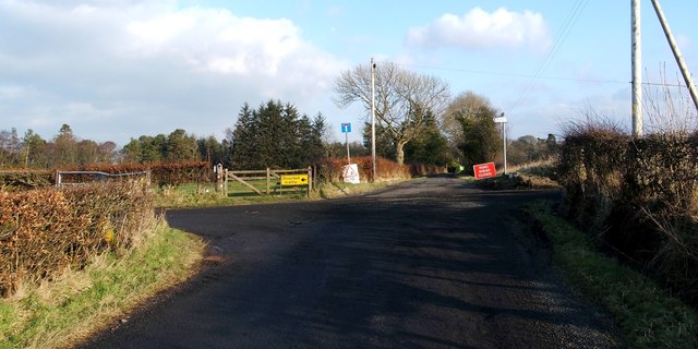
Image: © Lairich Rig Taken: 3 Feb 2012
Auchincarroch Road appears in the foreground; it is part of a route known locally as the Horseshoe (Image). At this crossroads, that route continues to the left, and leads past Image to emerge, eventually, at Balloch (Image). Straight ahead is Image The track heading off to the right leads to Image; see Image The diversion signs in the present photograph were needed because of a collapsed bridge: Image
Images are licensed for reuse under creativecommons.org/licenses/by-sa/2.0
Image Location


Leaflet Map data © OpenStreetMap
Latitude
56.015081
Longitude
-4.50439