Ferry Lane
Introduction
The photograph on this page of Ferry Lane by N Chadwick as part of the Geograph project.
The Geograph project started in 2005 with the aim of publishing, organising and preserving representative images for every square kilometre of Great Britain, Ireland and the Isle of Man.

There are currently over 7.5m images from over 14,400 individuals and you can help contribute to the project by visiting https://www.geograph.org.uk
Ferry Lane
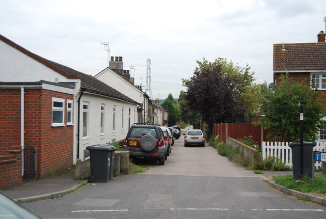
Image: © N Chadwick Taken: 30 Aug 2011
Until 1963 a ferry across the River Medway left from the bottom of this road.
Images are licensed for reuse under creativecommons.org/licenses/by-sa/2.0
Image Location
Latitude
51.348561
Longitude
0.457548