Mount Boone walls
Introduction
The photograph on this page of Mount Boone walls by jan barwick as part of the Geograph project.
The Geograph project started in 2005 with the aim of publishing, organising and preserving representative images for every square kilometre of Great Britain, Ireland and the Isle of Man.

There are currently over 7.5m images from over 14,400 individuals and you can help contribute to the project by visiting https://www.geograph.org.uk
Mount Boone walls
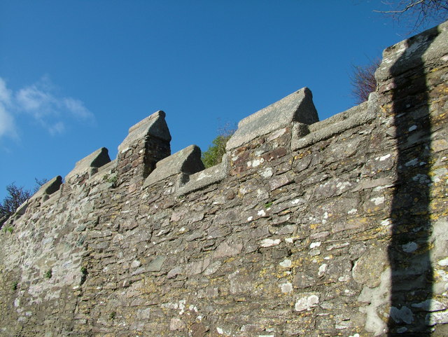
Image: © jan barwick Taken: 13 Feb 2005
These castellated walls are all that's left of the gracious house known as Mount Boone that overlooked Dartmouth and was demolished in 1905.
Images are licensed for reuse under creativecommons.org/licenses/by-sa/2.0
Image Location
Latitude
50.352831
Longitude
-3.581299