Ystwyth gorge upstream of the Miners' Bridge, Pont-rhyd-y-groes
Introduction
The photograph on this page of Ystwyth gorge upstream of the Miners' Bridge, Pont-rhyd-y-groes by Rudi Winter as part of the Geograph project.
The Geograph project started in 2005 with the aim of publishing, organising and preserving representative images for every square kilometre of Great Britain, Ireland and the Isle of Man.

There are currently over 7.5m images from over 14,400 individuals and you can help contribute to the project by visiting https://www.geograph.org.uk
Ystwyth gorge upstream of the Miners' Bridge, Pont-rhyd-y-groes
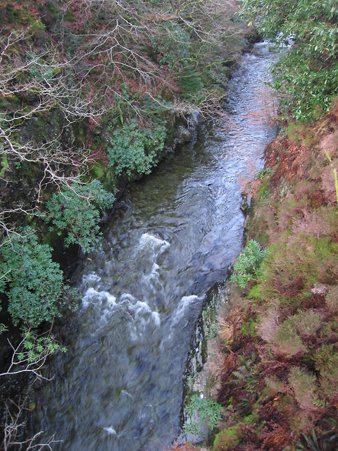
Image: © Rudi Winter Taken: 14 Jan 2012
The gorge lies immediately behind a row of miners' cottages on the main road through Pont-rhyd-y-groes. The footbridge was built in the early naughties to replace an older bridge which used to give the miners access to the lead mines on the north side of the gorge a little downstream. For a similar view from December 2008, see http://www.geograph.org.uk/photo/1082210 .
Images are licensed for reuse under creativecommons.org/licenses/by-sa/2.0
Image Location
Latitude
52.333304
Longitude
-3.855