Footpath to The Dell, Hornchurch, Essex
Introduction
The photograph on this page of Footpath to The Dell, Hornchurch, Essex by Derek Voller as part of the Geograph project.
The Geograph project started in 2005 with the aim of publishing, organising and preserving representative images for every square kilometre of Great Britain, Ireland and the Isle of Man.

There are currently over 7.5m images from over 14,400 individuals and you can help contribute to the project by visiting https://www.geograph.org.uk
Footpath to The Dell, Hornchurch, Essex
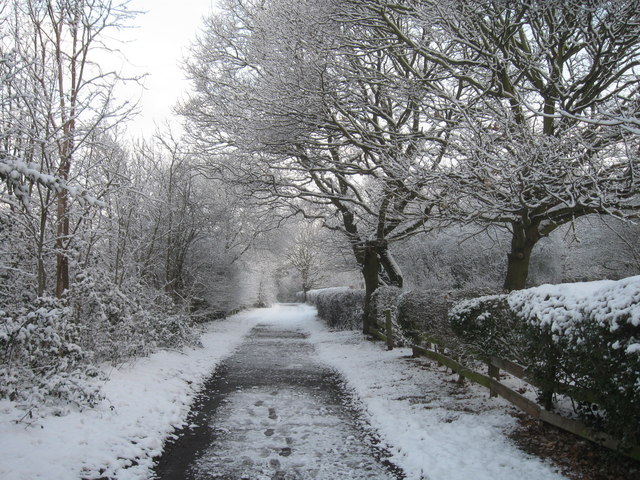
Image: © Derek Voller Taken: 10 Feb 2012
Looking North towards the church, (out of sight in the trees to the far left) To the photographer's immediate left is a bowl shaped depression in the land now filled with trees known locally as "The Dell" However, it was once open and boasted a fine windmill upon its rim. It burned down in 1921. At the bottom of the bowl there used to be bare knuckle boxing contests staged. Over the hedge on the right is Hornchurch Cemetery.
Images are licensed for reuse under creativecommons.org/licenses/by-sa/2.0
Image Location
Latitude
51.559838
Longitude
0.226682