Aqueduct east of Whittle Dene Water Treatment Works
Introduction
The photograph on this page of Aqueduct east of Whittle Dene Water Treatment Works by Andrew Curtis as part of the Geograph project.
The Geograph project started in 2005 with the aim of publishing, organising and preserving representative images for every square kilometre of Great Britain, Ireland and the Isle of Man.

There are currently over 7.5m images from over 14,400 individuals and you can help contribute to the project by visiting https://www.geograph.org.uk
Aqueduct east of Whittle Dene Water Treatment Works
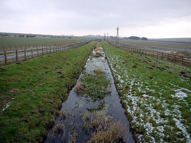
Image: © Andrew Curtis Taken: 10 Feb 2012
Formerly used to transport water from the Whittle Dene Reservoirs to Throckley by a system of aqueducts and tunnels. The track on the left provides access to Northside Farm.
Images are licensed for reuse under creativecommons.org/licenses/by-sa/2.0
Image Location
Latitude
55.00093
Longitude
-1.87616