Ettington Park [2]
Introduction
The photograph on this page of Ettington Park [2] by Michael Dibb as part of the Geograph project.
The Geograph project started in 2005 with the aim of publishing, organising and preserving representative images for every square kilometre of Great Britain, Ireland and the Isle of Man.

There are currently over 7.5m images from over 14,400 individuals and you can help contribute to the project by visiting https://www.geograph.org.uk
Ettington Park [2]
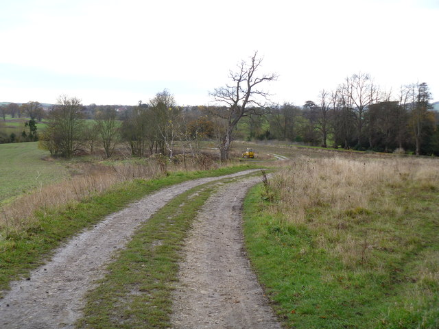
Image: © Michael Dibb Taken: 10 Dec 2011
A view along the track that is the bridleway. Filter beds (part of a sewage system) are in the clump of trees to the left of the track, near the bulldozer.
Images are licensed for reuse under creativecommons.org/licenses/by-sa/2.0
Image Location
Latitude
52.123901
Longitude
-1.636253