Ebor Way at Hag Farm
Introduction
The photograph on this page of Ebor Way at Hag Farm by Chris Heaton as part of the Geograph project.
The Geograph project started in 2005 with the aim of publishing, organising and preserving representative images for every square kilometre of Great Britain, Ireland and the Isle of Man.

There are currently over 7.5m images from over 14,400 individuals and you can help contribute to the project by visiting https://www.geograph.org.uk
Ebor Way at Hag Farm
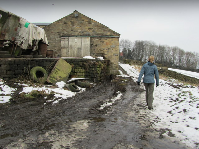
Image: © Chris Heaton Taken: 7 Feb 2012
Part of the long distance footpath that connects Helmsley and Ilkley - also adopted by the Dales Way Leeds Link. Hag Farm is on the track between Menston and Burley Woodhead.
Images are licensed for reuse under creativecommons.org/licenses/by-sa/2.0
Image Location
Latitude
53.897785
Longitude
-1.761803