St Peter's Hall
Introduction
The photograph on this page of St Peter's Hall by Eirian Evans as part of the Geograph project.
The Geograph project started in 2005 with the aim of publishing, organising and preserving representative images for every square kilometre of Great Britain, Ireland and the Isle of Man.

There are currently over 7.5m images from over 14,400 individuals and you can help contribute to the project by visiting https://www.geograph.org.uk
St Peter's Hall
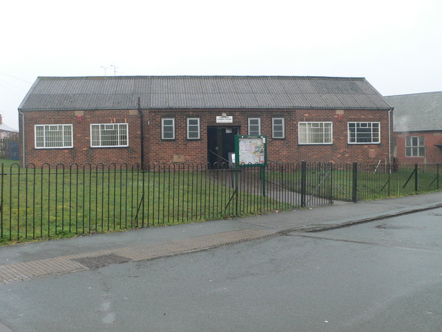
Image: © Eirian Evans Taken: 9 Feb 2012
These are Caia Park Council Rooms. St Peter's Church is just visible on the right, but it is now closed.
Images are licensed for reuse under creativecommons.org/licenses/by-sa/2.0
Image Location
Latitude
53.044641
Longitude
-2.982773