Track to Cuerdale Hall Farm
Introduction
The photograph on this page of Track to Cuerdale Hall Farm by Bill Boaden as part of the Geograph project.
The Geograph project started in 2005 with the aim of publishing, organising and preserving representative images for every square kilometre of Great Britain, Ireland and the Isle of Man.

There are currently over 7.5m images from over 14,400 individuals and you can help contribute to the project by visiting https://www.geograph.org.uk
Track to Cuerdale Hall Farm
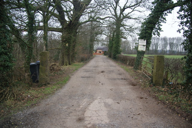
Image: © Bill Boaden Taken: 4 Feb 2012
The signs make it clear that it is private property but there is a public footpath through the farm which is a kilometre ahead.
Images are licensed for reuse under creativecommons.org/licenses/by-sa/2.0
Image Location
Latitude
53.753739
Longitude
-2.644362