Tramlink at New Addington
Introduction
The photograph on this page of Tramlink at New Addington by Marathon as part of the Geograph project.
The Geograph project started in 2005 with the aim of publishing, organising and preserving representative images for every square kilometre of Great Britain, Ireland and the Isle of Man.

There are currently over 7.5m images from over 14,400 individuals and you can help contribute to the project by visiting https://www.geograph.org.uk
Tramlink at New Addington
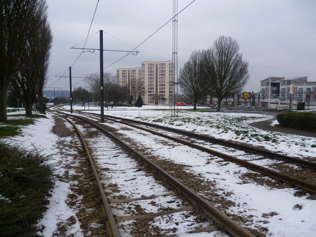
Image: © Marathon Taken: 8 Feb 2012
Before Tramlink opened on 10th May 2000, there was no public transport to New Addington, other than buses. This is the view from the King Henry's Drive Tramlink Stop which is one stop away from the terminus and looks in the Croydon direction. Parkway is on the right. It had snowed three days before this photograph was taken and although much of the snow in the suburbs had melted, out here on the edge of Croydon it was still very much in evidence and bitterly cold.
Images are licensed for reuse under creativecommons.org/licenses/by-sa/2.0
Image Location
Latitude
51.346113
Longitude
-0.020922