The Old Chequers
Introduction
The photograph on this page of The Old Chequers by Roger Templeman as part of the Geograph project.
The Geograph project started in 2005 with the aim of publishing, organising and preserving representative images for every square kilometre of Great Britain, Ireland and the Isle of Man.

There are currently over 7.5m images from over 14,400 individuals and you can help contribute to the project by visiting https://www.geograph.org.uk
The Old Chequers
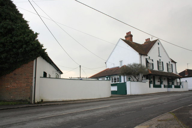
Image: © Roger Templeman Taken: 7 Feb 2012
Former pub converted to private house. There was an OS benchmark (see http://www.bench-marks.org.uk/bm23372 ) on the corner of the brick garage on the left but this appears to have been lost to vehicle hits.
Images are licensed for reuse under creativecommons.org/licenses/by-sa/2.0
Image Location
Latitude
51.596728
Longitude
-1.293414