Sluvad Road farm buildings
Introduction
The photograph on this page of Sluvad Road farm buildings by Jaggery as part of the Geograph project.
The Geograph project started in 2005 with the aim of publishing, organising and preserving representative images for every square kilometre of Great Britain, Ireland and the Isle of Man.

There are currently over 7.5m images from over 14,400 individuals and you can help contribute to the project by visiting https://www.geograph.org.uk
Sluvad Road farm buildings
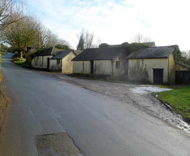
Image: © Jaggery Taken: 6 Feb 2012
The buildings on the south side of Sluvad Road are located between The Sluvad Farm's farmhouse http://www.geograph.org.uk/photo/2796510 and The Old Dairy.
Images are licensed for reuse under creativecommons.org/licenses/by-sa/2.0
Image Location
Latitude
51.686485
Longitude
-2.989388