Farm entrance track, Sluvad Road east of New Inn
Introduction
The photograph on this page of Farm entrance track, Sluvad Road east of New Inn by Jaggery as part of the Geograph project.
The Geograph project started in 2005 with the aim of publishing, organising and preserving representative images for every square kilometre of Great Britain, Ireland and the Isle of Man.

There are currently over 7.5m images from over 14,400 individuals and you can help contribute to the project by visiting https://www.geograph.org.uk
Farm entrance track, Sluvad Road east of New Inn
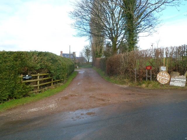
Image: © Jaggery Taken: 6 Feb 2012
The track heads away from the north side of Sluvad Road. The name sign on the left shows LLWYN-Y-CELYN FARM. The name sign on the right shows CROES FACH FARM. Also on the right are notices stating that free range eggs are available, and also 25 kg of potatoes for £5.
Images are licensed for reuse under creativecommons.org/licenses/by-sa/2.0
Image Location
Latitude
51.689133
Longitude
-2.995232