Fields near North Littleton
Introduction
The photograph on this page of Fields near North Littleton by Nigel Mykura as part of the Geograph project.
The Geograph project started in 2005 with the aim of publishing, organising and preserving representative images for every square kilometre of Great Britain, Ireland and the Isle of Man.

There are currently over 7.5m images from over 14,400 individuals and you can help contribute to the project by visiting https://www.geograph.org.uk
Fields near North Littleton
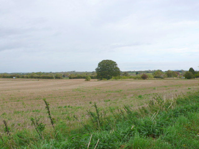
Image: © Nigel Mykura Taken: 9 Oct 2011
This is the view from Arrow Lane which runs from the village west to the B4085 road to Cleeve Prior. The houses in the village can just be seen in the distance.
Images are licensed for reuse under creativecommons.org/licenses/by-sa/2.0
Image Location


Leaflet Map data © OpenStreetMap
Latitude
52.126384
Longitude
-1.885141