Lower Clopton Farm [2]
Introduction
The photograph on this page of Lower Clopton Farm [2] by Michael Dibb as part of the Geograph project.
The Geograph project started in 2005 with the aim of publishing, organising and preserving representative images for every square kilometre of Great Britain, Ireland and the Isle of Man.

There are currently over 7.5m images from over 14,400 individuals and you can help contribute to the project by visiting https://www.geograph.org.uk
Lower Clopton Farm [2]
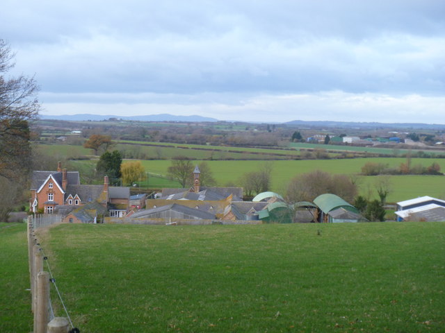
Image: © Michael Dibb Taken: 4 Dec 2011
The farm is seen, across the field, from the Heart of England Way. The Malvern Hills are in the far distance.
Images are licensed for reuse under creativecommons.org/licenses/by-sa/2.0
Image Location
Latitude
52.107847
Longitude
-1.75626