Footpath to St Mary's church, Panteg
Introduction
The photograph on this page of Footpath to St Mary's church, Panteg by Jaggery as part of the Geograph project.
The Geograph project started in 2005 with the aim of publishing, organising and preserving representative images for every square kilometre of Great Britain, Ireland and the Isle of Man.

There are currently over 7.5m images from over 14,400 individuals and you can help contribute to the project by visiting https://www.geograph.org.uk
Footpath to St Mary's church, Panteg
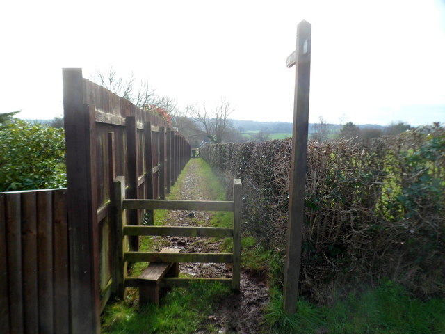
Image: © Jaggery Taken: 6 Feb 2012
A stile at the edge of Sluvad Road leads to a footpath heading south. St Mary's church http://www.geograph.org.uk/photo/1667480 is about 400 metres away.
Images are licensed for reuse under creativecommons.org/licenses/by-sa/2.0
Image Location
Latitude
51.688197
Longitude
-2.999552